The method has a 99 percent accuracy rate for ‘comma-shaped’ cloud detection and can also predict 64 percent of severe weather events, outperforming other existing severe weather detection methods
 Using Artificial Intelligence (AI), researchers at the Penn State University, US, have developed an algorithm to detect cloud formations that lead to storms, hurricanes, and cyclones.
The study, published in the journal IEEE Transactions on Geoscience and Remote Sensing, shows a model that can help forecasters recognise potential severe storms more quickly and accurately.
The researchers created a framework based on Machine Learning (ML) — a kind of AI — that detects rotational movements in clouds from satellite images that might have otherwise gone unnoticed.
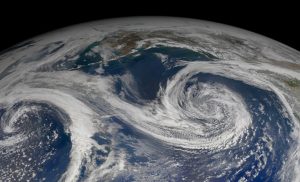
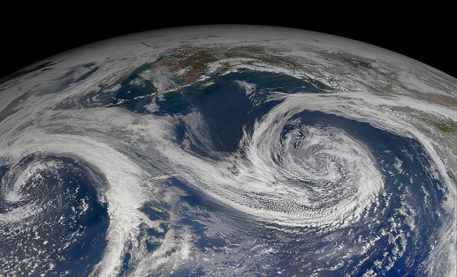
‘Comma-shaped’ cloud pattern detection
For the study, researchers analysed and identified more than 50,000 US weather satellite images and labelled the shape and motion of ‘comma-shaped’ clouds.
These cloud patterns are strongly associated with cyclone formations which can lead to severe weather phenomena such as hail, thunderstorms, high winds, and blizzards.
Rachel Zheng, Researcher, Penn State University, US stated that since ‘comma-shaped’ clouds are usually visual indicators of severe weather events, their algorithm can help meteorologists forecast such events.
Using computer vision and ML techniques, the researchers instructed the computers to automatically recognise and detect ‘comma-shaped’ clouds in satellite images.
Afterwards, the computers assisted experts by identifying where, in huge amounts of data, the onset of severe weather can be detected in real-time.
Steve Wistar, Senior Forensic Meteorologist at AccuWeather, US said that the very best forecasting incorporates as much data as possible since the atmosphere is infinitely complex.


