
The project is being undertaken by the Survey of India, and is expected to be completed in two years.

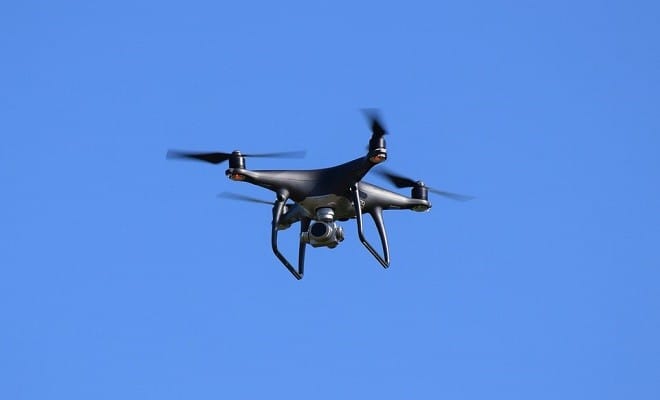
This new project aims to digitally map the entire country with a resolution of 10 centimetres, using drones and technologies such as artificial intelligence (AI) and big data.
The Survey of India, part of the Department of Science and Technology (DST), started the project a few months ago and is expected to be completed in two years, the Department’s Secretary, Prof Ashutosh Sharma said on Monday.
“…now we are equipping them (Survey of India) with the latest technologies like drones, artificial intelligence, big data analytics, image processing and continuously operated reference system,” he told reporters on the sidelines of an event.
Need for a digital map
Once the project is completed, the data will be available to citizens and to Gram Panchayats and local bodies, empowering them to use it in decision making and planning process.
“Even today we don’t have a digital map of India of sufficient accuracy, but this (the new digital map being prepared) is (going to be) the basis for everything you do, whether we have to lay down train tracks, lay a road, put up a hospital, cleaning up Ganga, cleaning up Cauvery or any kind of development and planning,” Prof Sharma said.
The survey is currently in progress in Karnataka, Haryana, Maharashtra and the Ganga basin.
Source: PTI


